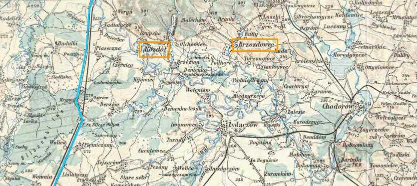
Distance from east to west is 30 miles / 49 km. Rozdol and
Brezdowicz are marked in orange. The Road from Lwow (Lemberg) to
Stryj is marked (more or less) in blue.
This map was made in 1913 by the K.U.K Militar-Geographisches Institues
and was made available to us by Shuki Ecker.